To be more effective, many banks, credit card companies, credit unions, and other financial services organizations are turning to GIS to help them understand their data better than ever. Location information touches many aspects of both the public and private sectors and just about every industry imaginable including the banking and financial services sector.
Everything in financial services is hyper local. Knowing “where” in banking is the key to understanding what and why. Successful financial institutions understand local consumers’ needs. From location to location the variation in consumer and business behaviours and demands affect bank performance. Advanced maps and spatial (location-based) analytics reveal deeper insight into relationships and patterns, answer complex questions and inform decisions.
A Geographic information system (GIS) connects data to a map, integrating location data (where things are) with all types of descriptive information (what things are like there).
GIS helps users understand patterns, relationships, and geographic context. The benefits include improved communication and efficiency as well as better management and decision making. ArcGIS is the market-leading GIS software both globally and locally.
“ArcGIS can help prioritize alternative or new site locations, assess the expected performance of existing branches based on the market conditions faced, quantify the estimated financial impact of changes to the branch network (including competitors’), evaluate stores in which a small banking kiosk may be installed and assess branch relocation opportunities to name a few,” an official from GIS Solutions (Pvt) Ltd.
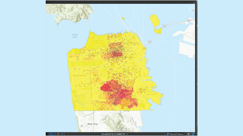
Assessing the attractiveness of the markets in which branches operate with the help of GIS can help a bank decide whether or not to reduce or increase its presence in that market and assess the risks in doing so.
Using ArcGIS, you can carry out more targeted marketing campaigns, neighbourhoods, postal codes, or individual addresses can be assessed as to whether or not they meet certain geographic and/or demographic criteria and can be scored or ranked according to the corresponding potential to respond to campaigns. For example, rather than mailing a letter randomly to customers within certain cities, one can identify postal codes that are within a ten-minute drive of one of the organization’s branches.
Doing customer analysis answers the question, where are our customers located. What are their characteristics (such as market segmentation, classification of residential areas)? Catchment areas for the branches can be drawn and areas, which are not served, can be easily identified. ArcGIS can also be used for competitor analysis. This analysis answers the queries, where are our competitors located. This analysis identifies the competitors and their customers on the map and analyses the reason for existing performance. Customer-focused marketing is the process of determining customer needs and wants to drive the working force behind the company’s products or services. Managers identify their target market and create strategies to reach those customers. An ArcGIS based solution can provide specific information on products and the areas they are well received.
“Therefore, allowing specific advertising to take and thus reducing large advertising bills. Banks can now advertise in region media-specific products, rather than major national media campaigns.”
GIS Solutions (Pvt) Ltd is the sole authorized distributor in Sri Lanka for the world’s number 1 software platform for GIS which is ArcGIS (the software is developed by ESRI). They have helped ArcGIS become the local market leader in Sri Lanka with a user base of over 200 plus organizations nationwide. All of Sri Lanka’s authoritative mapping is done on ArcGIS.
Add new comment