The use of ArcGIS in agriculture is all about analyzing the land, and other agricultural inputs, visualizing field data, crop data on a map, and putting those data to work. Farming today is more sophisticated than it has ever been. All sectors of the agricultural industry can use, ESRI’s ArcGIS, a Geographical Information Systems (GIS) Technology, to increase yields, share data, predict outcomes, and improve business practices.
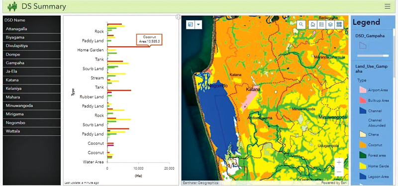
Mapping agricultural land and the crops they grow at different administrative levels (e.g., Grama Niladhari, Divisional Secretariat Division, District and Province) will give a clear picture of what is growing and where it is growing island-wide. Having the mapping done at useful boundary levels such as the Grama Niladhari level is useful to government departments and planning teams.
Whether it’s to disburse Agriculture funding (Loans) or to distribute seed Information can be put on a summary dashboard for ease of viewing.
Some ways ArcGIS Maps can improve agri related decision making
Tracking which fields/lands are being used during each growing season (e.g., Yala and Maha) and which fields are being left abandoned will give the government agencies a better understanding of what is going on at the farm level and how to optimize land for agriculture. It will also help to know nationally what production levels are expected (i.e., based on the land area cultivated). This is particularly important with rice paddy where fields are commonly left fallow (unplanted) and to know which fields are being used when distributing fertilizer.
 Each farmer can be mapped using a unique ID, with details like address, NIC number, address, skill levels, land extent cultivated, crops grown, loans disbursed, assistance required, seed types cultivated past annual average crop output/yields etc., this ArcGIS based farmer database or central repository of data can be built over time and it becomes an awesome tool to make data-driven, informed decisions for Higher-ups to truly provide support farmers need and monitor progress.
More developed countries like the US and Australia have already successfully adopted this technology and are reaping its benefits.
ArcGIS can also help with accurate crop yield estimates which help to reduce uncertainty and manage what is growing and where it is being grown. Governments benefit similarly from crop yield data, by being able to estimate if national needs will be met. More accurate estimates of yield can be made depending on the data gathered. Remote sensing data provides timely, accurate, and objective estimation of crop growing conditions or crop growth for developing yield models and issuing yield forecasts at a range of spatial scales.
Another application for ArcGIS could be to track fertilizer distribution and area-wise crop production monitoring. Keeping track of which farmers are getting fertilizer and how much they get can be very important information to make sure resources are reaching the correct people or that the distribution of a finite resource is more equitable. Another important use is to ensure that farmers only get fertilizer for fields that are being grown and not abandoned fields that are not being cultivated for the given season.
Checking crop health across multiple acres manually is the least efficient option. This is where remote sensing combined with ArcGIS comes to the rescue. Satellite images and input information can be paired to assess environmental conditions across the field, such as humidity, air temperature, surface conditions, and others. Based on GIS, precision farming can upgrade such an assessment and help you decide which crops require more attention.
The future of agriculture is smart farms. Smart farms or precision agriculture uses sensors in the field, on drones, on tractors, and on satellites, software and IT services. The approach includes accessing real-time data about the conditions of the crops, soil and ambient air, along with other relevant information such as local weather predictions, labour costs and equipment availability. This can be all done thanks to geospatial technology, in farming that is both friendly to the environment and profitable for the farmer.
When adopting any technology for a domain like agriculture what you need to consider
The most important thing is the sustainability and reliability of the technology, the system, how well that technology is supported locally and the credentials of the technology provider. We see that most times great, world proven technologies lose out to smaller players due to price when it comes to government procurement. Sadly, these low-priced systems tend to miss the mark over the long run, and the long-term sustainability of the smaller providers over the long run - unless the provider has been providing coded solutions for decades. This is why developed countries invest in ArcGIS technology as that is the most stable and trusted technology in the world for GIS and it has been around since 1969. ArcGIS Is developed by Esri (Acronym for Environmental Systems Research Institute USA) a multibillion-dollar company.
GIS Solutions has to its credit as being the implementor of the greatest number of successfully completed GIS Projects in Sri Lanka. They have a team comprising of the best Local GIS graduates that will personally be involved in implementing these GIS projects. GIS Solutions is geared to improve the operations of the agricultural sector in Sri Lanka. They represent the platform where all of Sri Lanka’s authoritative mapping is done (which is ArcGIS).
The company has been providing technology and supporting local organizations to do large projects such as the initiative for mapping all of Sri Lanka’s land parcels. GIS solutions have users in both the public and private sectors and several agricultural organizations already use ArcGIS.
Add new comment